Geocoding data enrichment

Get geocoding data enrichment now

Are you looking to map out your customer addresses to gather more insights into their behaviors or needs? Your address data alone might not be enough. When added to a visual tool—like an interactive map—the postal address could end up slightly off.

Latitude and longitude coordinates give you an extra layer of accuracy when mapping customer addresses. The easiest way to improve your existing address data is to use geocoding to enrich your data with precise coordinates.

What is geocoding?

Geocoding turns descriptions of a location into precise latitude and longitude coordinates. You can add these coordinates to a map or other visual, making it easy to see trends in customer locations.

Once you get a customer’s postal address, you can enter it into a geocoding solution to receive the exact coordinates of that location. This gives you a better idea of your customer’s location in a format that’s easier to keep accurate.

More accurate location data:

Anytime you relay postal address information by phone, in person, or even over the web, you risk data being entered incorrectly. A simple typo can render a piece of mail or package undeliverable. Address validation and geocoding eliminate human errors, so your addresses are accurate. This leads to more on-time deliveries and fewer packages returned to you.

Target specific locations:

ZIP codes and cities often cover too wide of an area for accurate location targeting. Using latitude and longitude coordinates makes it easier to pinpoint the addresses you want to target. For example, you want to send a coupon for a back-to-school sale to parents within a certain school district. Geocoding helps you narrow down which addresses should get coupons by plotting coordinates on a map, cutting down the costs of sending a coupon to someone who can’t use it.

Find patterns in locations:

Two street addresses won’t give you much information on how they’re connected, but coordinates can help you identify their proximity. By mapping your customers’ coordinates through geocoding, you can look for patterns within certain areas. For instance, you plot your customers’ coordinates on a map to find most are centered in a particular neighborhood.

Learn how our geocoding data enrichment can help your business.

Improve address data with a geocoding service

  • Geocode API: A geocode API lets you gather latitude and longitude coordinates from addresses as they enter your database, much like real-time address verification validates postal addresses.
  • Geocode lookup: You can use this type of tool to validate latitude and longitude coordinates. You’ll enter your coordinates into the form, and the system can tell you if it’s a valid location.
  • Global geocoding: Latitude and longitude coordinates are structured the same regardless of location. You won’t have to validate coordinates like you would validate international addresses to make sure the postal formatting is correct.
  • Reverse geocoding: Do you have coordinates and want to find the address that goes with them? Reverse geocoding is the process of looking up an address using existing latitude and longitude coordinates.

Improve data quality with an accurate geocode address

Enriching your existing address and location data with a geocoding solution doesn’t just help you deliver packages on time or save money by targeting a specific neighborhood. It also helps you verify your address data for more complete and accurate information on your customers—thus improving your data quality.

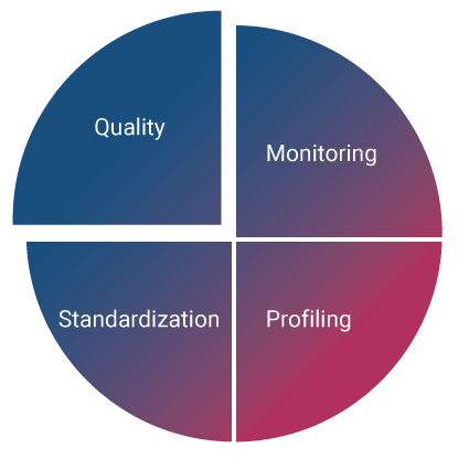
Data quality is just one piece of the data management puzzle.

Find out how our data management tool can help you today.

Manage data effectively


Learn more about improving your data quality with geocoding enrichment by getting in touch with Experian’s data experts.

Our team of data professionals can help you understand the benefits of geocoding and get you set up with a free trial of Experian’s data quality systems.